“Unveiling the Best of the ITU GeoAI Challenge: Spotlight on Finalists and Their Groundbreaking Innovations”
The ITU GeoAI Challenge is approaching its thrilling conclusion, showcasing live events that honor groundbreaking solutions harnessing artificial intelligence (AI) and machine learning (ML) to tackle geospatial data issues. This initiative is committed to fostering sustainable solutions for our planet. Organized by AI for Good, this platform unites visionary thinkers and problem solvers to collaboratively address critical geospatial challenges posed by United Nations agencies, space organizations, and various research partners.
Over the course of the year, the competition drew participation from sixty countries, with 254 individuals hailing from 46 developing nations, all vying to solve five crucial problem statements aligned with the Sustainable Development Goals (SDGs). The captivating topics addressed encompass landslides, air pollution, cropland mapping, soil properties, and the identification of location mentions from social media.
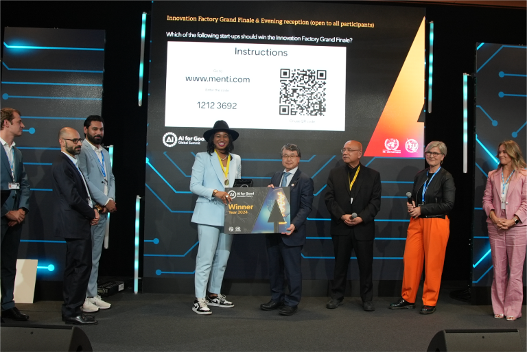
The leading teams from the 2023 competition are primed to unveil their innovative solutions, with prizes and certificates on offer to celebrate their exceptional achievements. Be sure to mark your calendars for the upcoming ITU GeoAI Challenge Finale events scheduled for this December:
**GeoLab** at Politecnico di Milano has developed the **Air Pollution Susceptibility Mapping Challenge**, which aims to create city-level air pollution susceptibility maps with an impressive spatial resolution of 5 meters. These maps will be vital resources for decision-makers seeking to enhance urban resilience.
In addition, the **UNODC** (United Nations Office on Drugs and Crime) and **FAO** (Food and Agriculture Organization of the United Nations) have launched the **Cropland Mapping with Satellite Imagery** challenge, as part of the UN Open GIS Initiatives. This initiative aspires to inspire the design of precise and cost-effective classification models for mapping cropland extent in chosen areas using cutting-edge machine learning and AI techniques.
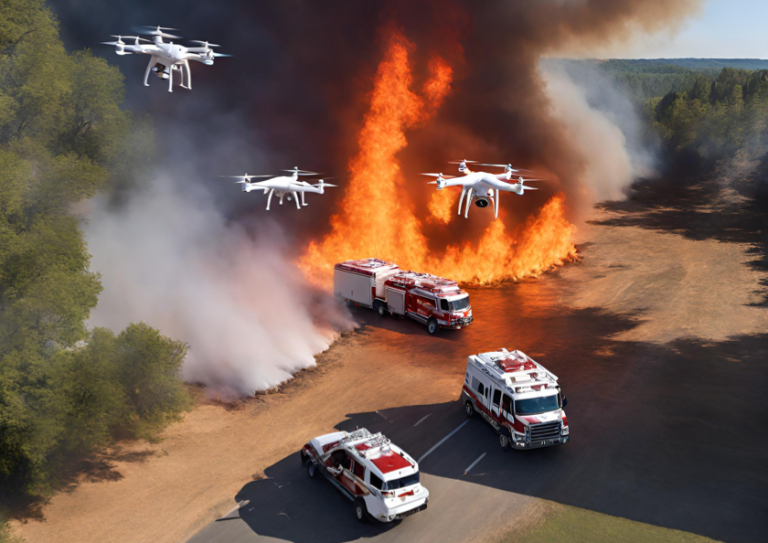
Further, **GeoLab** at Politecnico di Milano is also leading the **Landslide Susceptibility Mapping Challenge**, which focuses on the Valtellina Valley in Northern Italy. The maps produced from this challenge will assist local authorities in crafting sustainable development strategies, mitigating landslide risks, and ensuring the safety of communities in vulnerable regions.
In collaboration with the **Qatar Computing Research Institute** (QRCI, HBKU) and **Qatar University**, the **Location Mention Recognition from Social Media Crisis-Related Text Challenge** has been initiated. This challenge aims to develop systems capable of detecting location mentions from microblogs during emergencies, thereby improving the efficiency of response efforts by authorities during crises.
Finally, the **ESA** Φ-lab, in conjunction with **KP Labs** and partner **QZ Solutions**, has introduced the **Estimate Soil Parameters from Hyperspectral Images Challenge**. This innovative initiative seeks to advance the retrieval of soil parameters leveraging hyperspectral data, especially in preparation for the forthcoming Intuition-1 mission. Intuition-1 is a state-of-the-art 6U-class satellite mission created by KP Labs, equipped to observe Earth with a hyperspectral instrument and an onboard computing unit using AI for in-orbit data processing—making it the world’s first satellite capable of sophisticated hyperspectral image processing in orbit.
GeoAIShare This PostCopy linkLink copied!FacebookTwitterLinkedInWhatsAppEmail